Nutana and How Hatch, How Lane
Introduction
The photograph on this page of Nutana and How Hatch, How Lane by Ian Capper as part of the Geograph project.
The Geograph project started in 2005 with the aim of publishing, organising and preserving representative images for every square kilometre of Great Britain, Ireland and the Isle of Man.

There are currently over 7.5m images from over 14,400 individuals and you can help contribute to the project by visiting https://www.geograph.org.uk
Nutana and How Hatch, How Lane
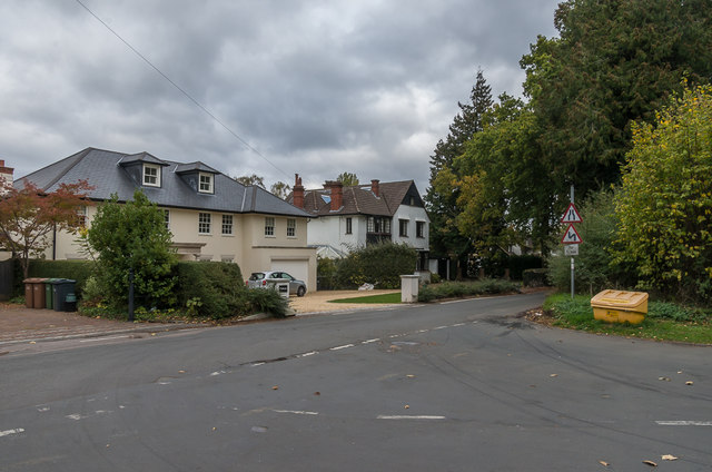
Image: © Ian Capper Taken: 27 Oct 2018
Two houses in How Lane, opposite Hollymead Road. How Hatch (the further of the two) first appears on the 1913 1:2,500 map, whereas according to recent planning document Nutana was built in the 1980s.
Images are licensed for reuse under creativecommons.org/licenses/by-sa/2.0
Image Location


Leaflet Map data © OpenStreetMap
Latitude
51.307443
Longitude
-0.16388