Jaywick: Sea defence wall along Brooklands
Introduction
The photograph on this page of Jaywick: Sea defence wall along Brooklands by Nigel Cox as part of the Geograph project.
The Geograph project started in 2005 with the aim of publishing, organising and preserving representative images for every square kilometre of Great Britain, Ireland and the Isle of Man.

There are currently over 7.5m images from over 14,400 individuals and you can help contribute to the project by visiting https://www.geograph.org.uk
Jaywick: Sea defence wall along Brooklands
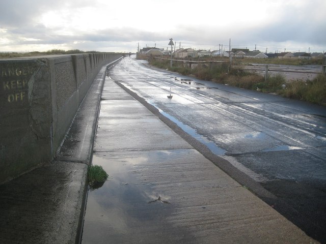
Image: © Nigel Cox Taken: 28 Oct 2018
This photo was taken looking west so the sea is to the left beyond the wall. Old Ordnance Survey large scale maps give heights of 10 feet above sea level for the centre of the Brooklands road here.
Images are licensed for reuse under creativecommons.org/licenses/by-sa/2.0
Image Location
Latitude
51.772973
Longitude
1.109565