Spanning Ashton Brook
Introduction
The photograph on this page of Spanning Ashton Brook by Neil Owen as part of the Geograph project.
The Geograph project started in 2005 with the aim of publishing, organising and preserving representative images for every square kilometre of Great Britain, Ireland and the Isle of Man.

There are currently over 7.5m images from over 14,400 individuals and you can help contribute to the project by visiting https://www.geograph.org.uk
Spanning Ashton Brook
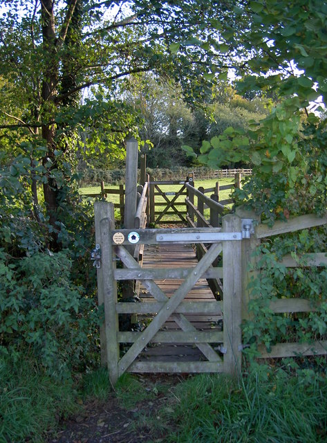
Image: © Neil Owen Taken: 2 Nov 2018
A wooden bridge and part of the Long Ashton circular village walk.
Images are licensed for reuse under creativecommons.org/licenses/by-sa/2.0
Image Location
Latitude
51.430906
Longitude
-2.646677