Old Pumber Colliery Site
Introduction
The photograph on this page of Old Pumber Colliery Site by John Fielding as part of the Geograph project.
The Geograph project started in 2005 with the aim of publishing, organising and preserving representative images for every square kilometre of Great Britain, Ireland and the Isle of Man.

There are currently over 7.5m images from over 14,400 individuals and you can help contribute to the project by visiting https://www.geograph.org.uk
Old Pumber Colliery Site
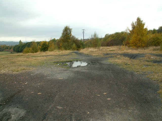
Image: © John Fielding Taken: 27 Oct 2007
The ground is colliery spoil, shale etc, with grasses and silver birch taking hold.. The site is alongside the B6131 road, Emley Moor Mast can be seen left hand skyline.
Images are licensed for reuse under creativecommons.org/licenses/by-sa/2.0
Image Location
Latitude
53.582906
Longitude
-1.5148