Santorin Close, Sunderland
Introduction
The photograph on this page of Santorin Close, Sunderland by Malc McDonald as part of the Geograph project.
The Geograph project started in 2005 with the aim of publishing, organising and preserving representative images for every square kilometre of Great Britain, Ireland and the Isle of Man.

There are currently over 7.5m images from over 14,400 individuals and you can help contribute to the project by visiting https://www.geograph.org.uk
Santorin Close, Sunderland
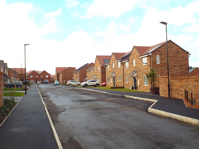
Image: © Malc McDonald Taken: 27 Oct 2018
Santorin Close is part of a new housing development in the Ford district of Sunderland. In this view, taken in October 2018, the road surface has not yet been finished.
Images are licensed for reuse under creativecommons.org/licenses/by-sa/2.0
Image Location
Latitude
54.907543
Longitude
-1.428827