Sandyknowes roundabout near Belfast (4)
Introduction
The photograph on this page of Sandyknowes roundabout near Belfast (4) by Albert Bridge as part of the Geograph project.
The Geograph project started in 2005 with the aim of publishing, organising and preserving representative images for every square kilometre of Great Britain, Ireland and the Isle of Man.

There are currently over 7.5m images from over 14,400 individuals and you can help contribute to the project by visiting https://www.geograph.org.uk
Sandyknowes roundabout near Belfast (4)
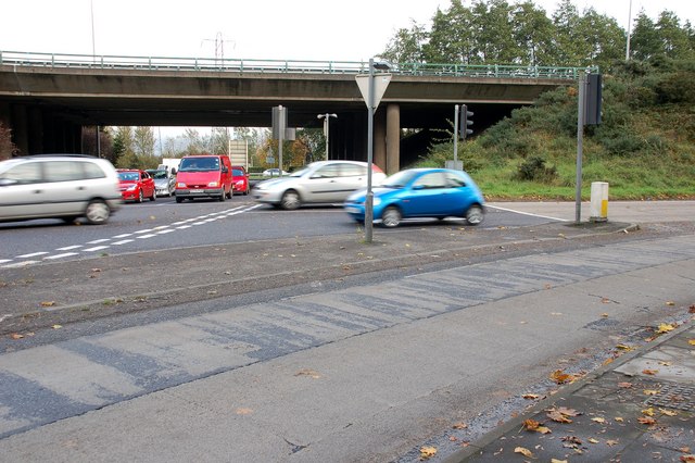
Image: © Albert Bridge Taken: 27 Oct 2007
See Image The slip road to Scullions Road Image is in the foreground. The off-slip from the M2 Image is at middle right. The south-bound on-slip to Belfast is behind the flyover to the right. The full-time lights have made negotiation of the roundabout somewhat safer and less fraught.
Images are licensed for reuse under creativecommons.org/licenses/by-sa/2.0
Image Location
Latitude
54.67767
Longitude
-5.979323