Old Farm Track Near Dundonald
Introduction
The photograph on this page of Old Farm Track Near Dundonald by Mary and Angus Hogg as part of the Geograph project.
The Geograph project started in 2005 with the aim of publishing, organising and preserving representative images for every square kilometre of Great Britain, Ireland and the Isle of Man.

There are currently over 7.5m images from over 14,400 individuals and you can help contribute to the project by visiting https://www.geograph.org.uk
Old Farm Track Near Dundonald
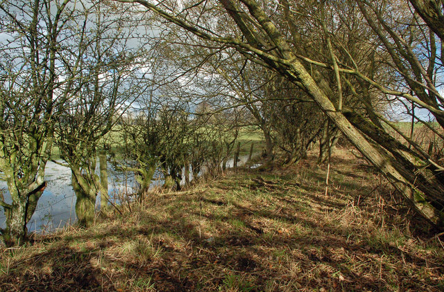
Image: © Mary and Angus Hogg Taken: 1 Nov 2018
It's just possible to make this out as an old track. The water on the left was only a flooded part of the field.
Images are licensed for reuse under creativecommons.org/licenses/by-sa/2.0
Image Location
Latitude
55.573065
Longitude
-4.581349