Sandyknowes roundabout near Belfast (2)
Introduction
The photograph on this page of Sandyknowes roundabout near Belfast (2) by Albert Bridge as part of the Geograph project.
The Geograph project started in 2005 with the aim of publishing, organising and preserving representative images for every square kilometre of Great Britain, Ireland and the Isle of Man.

There are currently over 7.5m images from over 14,400 individuals and you can help contribute to the project by visiting https://www.geograph.org.uk
Sandyknowes roundabout near Belfast (2)
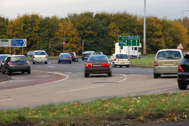
Image: © Albert Bridge Taken: 27 Oct 2007
See Image Scullions Road is in the foreground (lower left). The road to Antrim is at middle-left. The traffic is heading for who-knowes-where!
Images are licensed for reuse under creativecommons.org/licenses/by-sa/2.0
Image Location
Latitude
54.678142
Longitude
-5.980695