Castle Mews, Usk
Introduction
The photograph on this page of Castle Mews, Usk by Jaggery as part of the Geograph project.
The Geograph project started in 2005 with the aim of publishing, organising and preserving representative images for every square kilometre of Great Britain, Ireland and the Isle of Man.

There are currently over 7.5m images from over 14,400 individuals and you can help contribute to the project by visiting https://www.geograph.org.uk
Castle Mews, Usk
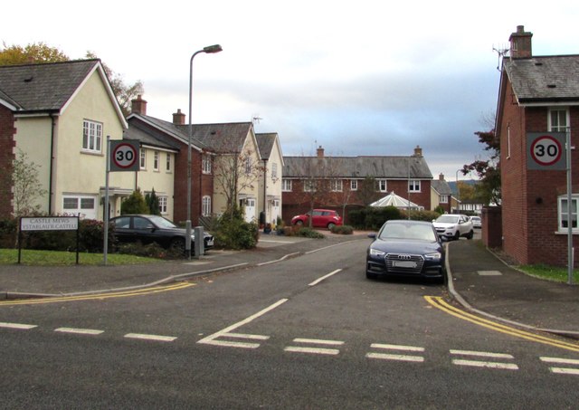
Image: © Jaggery Taken: 3 Nov 2018
Cul-de-sac on the south side of the A472 Monmouth Road. The bilingual name sign on the left shows that Castle Mews is Ystablau'r Castell (literally Castle Stables) in Welsh.
Images are licensed for reuse under creativecommons.org/licenses/by-sa/2.0
Image Location
Latitude
51.704739
Longitude
-2.899773