Jaywick: Beach near Martello Tower C
Introduction
The photograph on this page of Jaywick: Beach near Martello Tower C by Nigel Cox as part of the Geograph project.
The Geograph project started in 2005 with the aim of publishing, organising and preserving representative images for every square kilometre of Great Britain, Ireland and the Isle of Man.

There are currently over 7.5m images from over 14,400 individuals and you can help contribute to the project by visiting https://www.geograph.org.uk
Jaywick: Beach near Martello Tower C
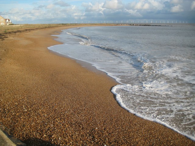
Image: © Nigel Cox Taken: 28 Oct 2018
The recent construction of the black rock breakwaters along the coast at and near to Clacton-on-Sea has radically altered the shape and location of the original sea/beach interface, which used to be generally parallel to the sea defence wall. Here the breakwater top right has created a sweeping bay. The turbines of the Gunfleet Sands Wind Farm are visible out to sea.
Images are licensed for reuse under creativecommons.org/licenses/by-sa/2.0
Image Location
Latitude
51.772104
Longitude
1.098197