Gawton Crescent
Introduction
The photograph on this page of Gawton Crescent by Ian Capper as part of the Geograph project.
The Geograph project started in 2005 with the aim of publishing, organising and preserving representative images for every square kilometre of Great Britain, Ireland and the Isle of Man.

There are currently over 7.5m images from over 14,400 individuals and you can help contribute to the project by visiting https://www.geograph.org.uk
Gawton Crescent
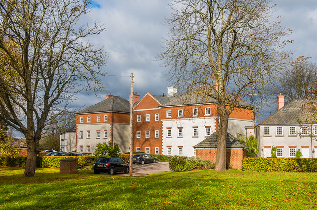
Image: © Ian Capper Taken: 27 Oct 2018
Former hospital buildings from 1909, converted to housing in 2005.
Images are licensed for reuse under creativecommons.org/licenses/by-sa/2.0
Image Location
Latitude
51.292819
Longitude
-0.144957