Maisonettes in Lower Wardown
Introduction
The photograph on this page of Maisonettes in Lower Wardown by Basher Eyre as part of the Geograph project.
The Geograph project started in 2005 with the aim of publishing, organising and preserving representative images for every square kilometre of Great Britain, Ireland and the Isle of Man.

There are currently over 7.5m images from over 14,400 individuals and you can help contribute to the project by visiting https://www.geograph.org.uk
Maisonettes in Lower Wardown
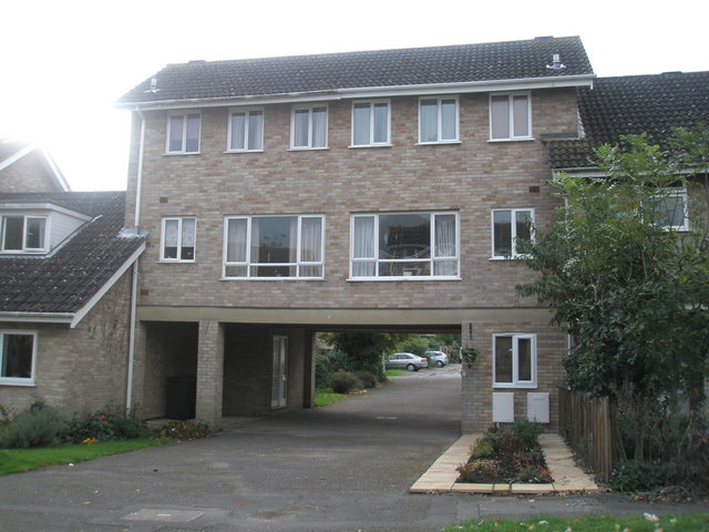
Image: © Basher Eyre Taken: 27 Oct 2007
Built in 1976, these flats won an award. 30 years on the estate stretches almost to the town.
Images are licensed for reuse under creativecommons.org/licenses/by-sa/2.0
Image Location
Latitude
51.006434
Longitude
-0.920148