North side of Pontnewynydd Methodist Church
Introduction
The photograph on this page of North side of Pontnewynydd Methodist Church by Jaggery as part of the Geograph project.
The Geograph project started in 2005 with the aim of publishing, organising and preserving representative images for every square kilometre of Great Britain, Ireland and the Isle of Man.

There are currently over 7.5m images from over 14,400 individuals and you can help contribute to the project by visiting https://www.geograph.org.uk
North side of Pontnewynydd Methodist Church
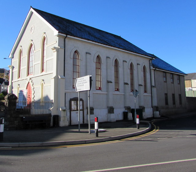
Image: © Jaggery Taken: 2 Nov 2018
The Pentrepiod Road side of the church which is part of the Gwent Hills and Vales Methodist Circuit. The building dates from 1849.
Images are licensed for reuse under creativecommons.org/licenses/by-sa/2.0
Image Location
Latitude
51.7111
Longitude
-3.053899