Blue Leaves Avenue
Introduction
The photograph on this page of Blue Leaves Avenue by Ian Capper as part of the Geograph project.
The Geograph project started in 2005 with the aim of publishing, organising and preserving representative images for every square kilometre of Great Britain, Ireland and the Isle of Man.

There are currently over 7.5m images from over 14,400 individuals and you can help contribute to the project by visiting https://www.geograph.org.uk
Blue Leaves Avenue
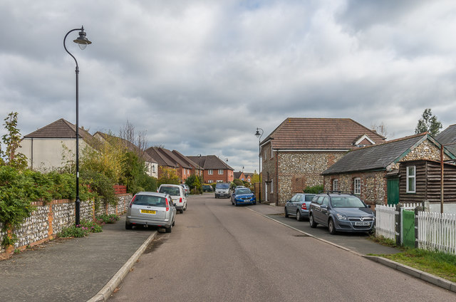
Image: © Ian Capper Taken: 27 Oct 2018
Road off Netherne Lane on the site of the original Netherne Farm. The small building on the right and the wall on the left date from the mid 19th Century and are the only remnants of the farm. Both are locally listed.
Images are licensed for reuse under creativecommons.org/licenses/by-sa/2.0
Image Location
Latitude
51.293804
Longitude
-0.143569