Westwood Street, Sunderland
Introduction
The photograph on this page of Westwood Street, Sunderland by Malc McDonald as part of the Geograph project.
The Geograph project started in 2005 with the aim of publishing, organising and preserving representative images for every square kilometre of Great Britain, Ireland and the Isle of Man.

There are currently over 7.5m images from over 14,400 individuals and you can help contribute to the project by visiting https://www.geograph.org.uk
Westwood Street, Sunderland
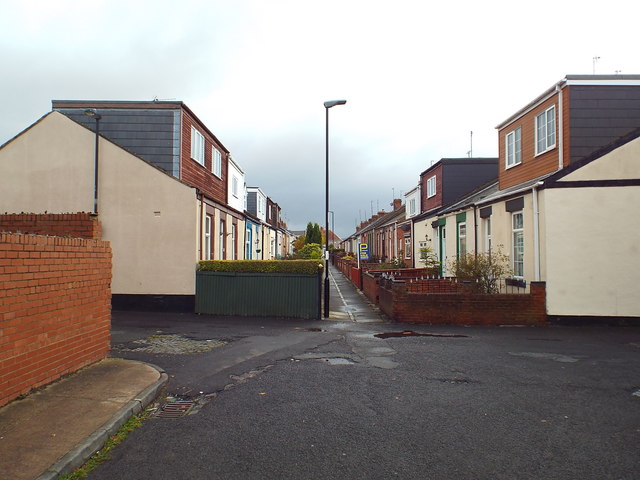
Image: © Malc McDonald Taken: 27 Oct 2018
Westwood Street in Sunderland's suburbs. The street is a path flanked on either side by a terrace of Sunderland cottages. Although these were built as single-storey dwellings, many have had their loft space converted into additional living space.
Images are licensed for reuse under creativecommons.org/licenses/by-sa/2.0
Image Location
Latitude
54.903077
Longitude
-1.415634