Clacton-on-Sea: Seafront shelter near St Paul's Road
Introduction
The photograph on this page of Clacton-on-Sea: Seafront shelter near St Paul's Road by Nigel Cox as part of the Geograph project.
The Geograph project started in 2005 with the aim of publishing, organising and preserving representative images for every square kilometre of Great Britain, Ireland and the Isle of Man.

There are currently over 7.5m images from over 14,400 individuals and you can help contribute to the project by visiting https://www.geograph.org.uk
Clacton-on-Sea: Seafront shelter near St Paul's Road
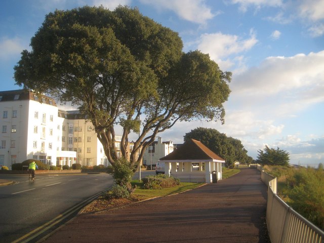
Image: © Nigel Cox Taken: 29 Oct 2018
Clacton has a great number of seafront shelters, all of which are of different designs. This one is at the seaward end of St Paul's Road. The pavement along Marine Parade East here forms part of National Cycle Network Route 51.
Images are licensed for reuse under creativecommons.org/licenses/by-sa/2.0
Image Location
Latitude
51.790789
Longitude
1.16315