Keston Avenue
Introduction
The photograph on this page of Keston Avenue by Ian Capper as part of the Geograph project.
The Geograph project started in 2005 with the aim of publishing, organising and preserving representative images for every square kilometre of Great Britain, Ireland and the Isle of Man.

There are currently over 7.5m images from over 14,400 individuals and you can help contribute to the project by visiting https://www.geograph.org.uk
Keston Avenue
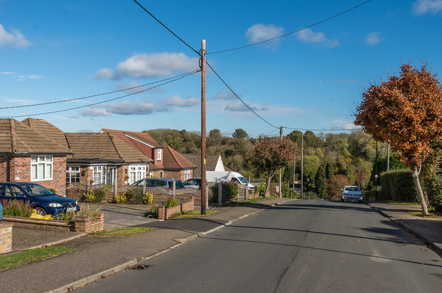
Image: © Ian Capper Taken: 27 Oct 2018
c1950s bungalows in Keston Avenue. The road is marked on the 1935 1:2,500 map, with a small number of houses in large plots shown further down the road. By the time of the 1957-8 1:2,500 map, this section is shown as having been developed.
Images are licensed for reuse under creativecommons.org/licenses/by-sa/2.0
Image Location
Latitude
51.304458
Longitude
-0.112467