Southern end of the canal at Barrack Hill
Introduction
The photograph on this page of Southern end of the canal at Barrack Hill by M J Roscoe as part of the Geograph project.
The Geograph project started in 2005 with the aim of publishing, organising and preserving representative images for every square kilometre of Great Britain, Ireland and the Isle of Man.

There are currently over 7.5m images from over 14,400 individuals and you can help contribute to the project by visiting https://www.geograph.org.uk
Southern end of the canal at Barrack Hill
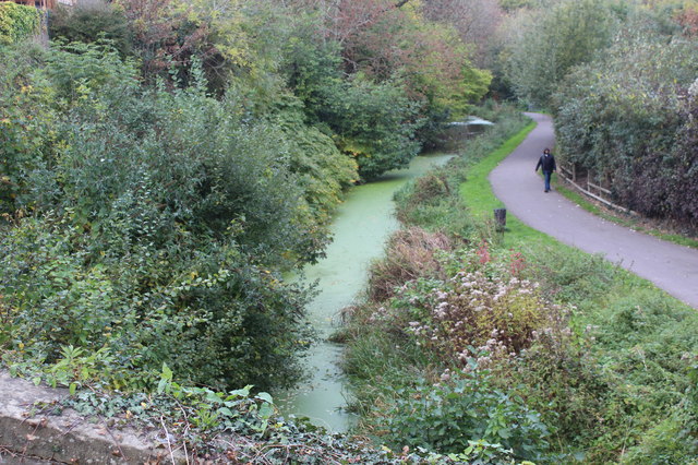
Image: © M J Roscoe Taken: 27 Oct 2018
Formerly, until 1930, the Mon & Brec Canal went into a tunnel beneath the camera on its way towards Newport Docks. The towpath is part of NCR 47.
Images are licensed for reuse under creativecommons.org/licenses/by-sa/2.0
Image Location
Latitude
51.597189
Longitude
-3.001161