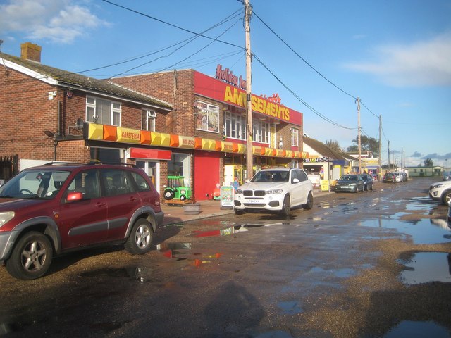
Seawick: Seaview Road
Introduction
The photograph on this page of Seawick: Seaview Road by Nigel Cox as part of the Geograph project.
The Geograph project started in 2005 with the aim of publishing, organising and preserving representative images for every square kilometre of Great Britain, Ireland and the Isle of Man.
There are currently over 7.5m images from over 14,400 individuals and you can help contribute to the project by visiting https://www.geograph.org.uk

Image: © Nigel Cox Taken: 28 Oct 2018
Unsurprisingly old large scale Ordnance Survey maps show that the current day road layout in Seawick and its holiday village follows the old farm track and boundary layout from before development. But the 1958 edition shows this road as Seawick Road, not Seaview Road, and with what appear to be permanent houses where the amusement arcades are now. In addition at the end of the road, at the junction with Beach Road, was a public house called The Monks Head. The public house building probably still exists but has in all likelihood been converted into an amusement arcade.

