Clacton-on-Sea: Alton Park Lane
Introduction
The photograph on this page of Clacton-on-Sea: Alton Park Lane by Nigel Cox as part of the Geograph project.
The Geograph project started in 2005 with the aim of publishing, organising and preserving representative images for every square kilometre of Great Britain, Ireland and the Isle of Man.

There are currently over 7.5m images from over 14,400 individuals and you can help contribute to the project by visiting https://www.geograph.org.uk
Clacton-on-Sea: Alton Park Lane
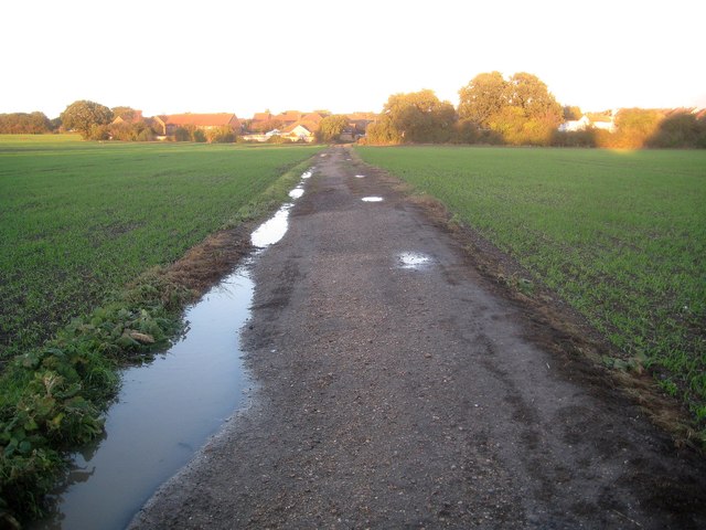
Image: © Nigel Cox Taken: 28 Oct 2018
There was once a farmstead called Altonpark in this vicinity, that was accessed by a track off Jaywick Lane. By the time that the 1964 Ordnance Survey large scale map was issued the lane, according to the OS, extended all the way from Jaywick Lane to Leas Road and Cherry Tree Avenue in Clacton-on-Sea, as seen in this view. It is now a public footpath.
Images are licensed for reuse under creativecommons.org/licenses/by-sa/2.0
Image Location
Latitude
51.786515
Longitude
1.134716