Woodhouse Coppice
Introduction
The photograph on this page of Woodhouse Coppice by Richard Webb as part of the Geograph project.
The Geograph project started in 2005 with the aim of publishing, organising and preserving representative images for every square kilometre of Great Britain, Ireland and the Isle of Man.

There are currently over 7.5m images from over 14,400 individuals and you can help contribute to the project by visiting https://www.geograph.org.uk
Woodhouse Coppice
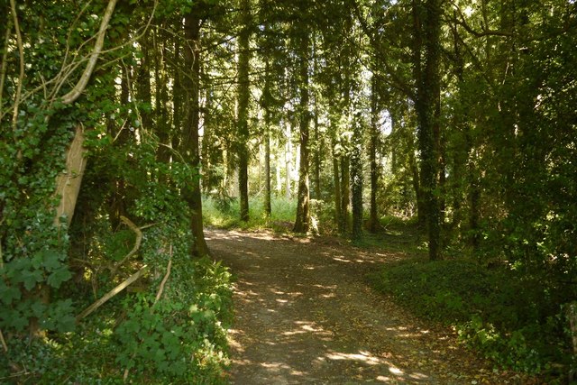
Image: © Richard Webb Taken: 5 Jul 2018
The maps show a lot of buildings in here, no doubt part of what was RAF Rednal.
Images are licensed for reuse under creativecommons.org/licenses/by-sa/2.0
Image Location
Latitude
52.848827
Longitude
-2.940924