New Houses on Deadmans Lane
Introduction
The photograph on this page of New Houses on Deadmans Lane by Des Blenkinsopp as part of the Geograph project.
The Geograph project started in 2005 with the aim of publishing, organising and preserving representative images for every square kilometre of Great Britain, Ireland and the Isle of Man.

There are currently over 7.5m images from over 14,400 individuals and you can help contribute to the project by visiting https://www.geograph.org.uk
New Houses on Deadmans Lane
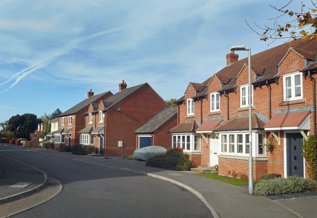
Image: © Des Blenkinsopp Taken: 24 Oct 2018
I am guessing this is the name of the road from before the houses were built. It doesn't sound like a name developers would select if they were given the choice.
Images are licensed for reuse under creativecommons.org/licenses/by-sa/2.0
Image Location
Latitude
51.380356
Longitude
-1.318159