Path leading up to Brucehill
Introduction
The photograph on this page of Path leading up to Brucehill by Lairich Rig as part of the Geograph project.
The Geograph project started in 2005 with the aim of publishing, organising and preserving representative images for every square kilometre of Great Britain, Ireland and the Isle of Man.

There are currently over 7.5m images from over 14,400 individuals and you can help contribute to the project by visiting https://www.geograph.org.uk
Path leading up to Brucehill
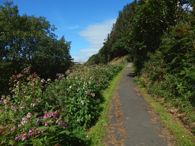
Image: © Lairich Rig Taken: 4 Sep 2018
See Image for a view in the opposite direction. The path leads up to the steps shown in Image The flowers are Image
Images are licensed for reuse under creativecommons.org/licenses/by-sa/2.0
Image Location


Leaflet Map data © OpenStreetMap
Latitude
55.941102
Longitude
-4.587373