Newtown Bypass construction Lower Brimmon to Wern Du Lane
Introduction
The photograph on this page of Newtown Bypass construction Lower Brimmon to Wern Du Lane by Penny Mayes as part of the Geograph project.
The Geograph project started in 2005 with the aim of publishing, organising and preserving representative images for every square kilometre of Great Britain, Ireland and the Isle of Man.

There are currently over 7.5m images from over 14,400 individuals and you can help contribute to the project by visiting https://www.geograph.org.uk
Newtown Bypass construction Lower Brimmon to Wern Du Lane
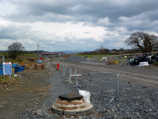
Image: © Penny Mayes Taken: 1 Apr 2018
The construction of a Newtown Bypass has been discussed since the early 1970s (if not earlier); it should open in early 2019. The Brimmon Oak http://www.geograph.org.uk/photo/5958816 is on the right.
Images are licensed for reuse under creativecommons.org/licenses/by-sa/2.0
Image Location
Latitude
52.513061
Longitude
-3.292404