Bungalows at the northern edge of Bryncethin
Introduction
The photograph on this page of Bungalows at the northern edge of Bryncethin by Jaggery as part of the Geograph project.
The Geograph project started in 2005 with the aim of publishing, organising and preserving representative images for every square kilometre of Great Britain, Ireland and the Isle of Man.

There are currently over 7.5m images from over 14,400 individuals and you can help contribute to the project by visiting https://www.geograph.org.uk
Bungalows at the northern edge of Bryncethin
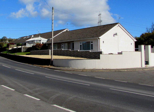
Image: © Jaggery Taken: 29 Oct 2018
Viewed across the A4061 Blackmill Road. Originally, bungalow was used in English for a lightly-built house, with a veranda and one storey. In current UK usage it is a convenient word for any one-storey dwelling.
Images are licensed for reuse under creativecommons.org/licenses/by-sa/2.0
Image Location
Latitude
51.550746
Longitude
-3.564513