Wilson's Lane, Marks Tey
Introduction
The photograph on this page of Wilson's Lane, Marks Tey by Geographer as part of the Geograph project.
The Geograph project started in 2005 with the aim of publishing, organising and preserving representative images for every square kilometre of Great Britain, Ireland and the Isle of Man.

There are currently over 7.5m images from over 14,400 individuals and you can help contribute to the project by visiting https://www.geograph.org.uk
Wilson's Lane, Marks Tey
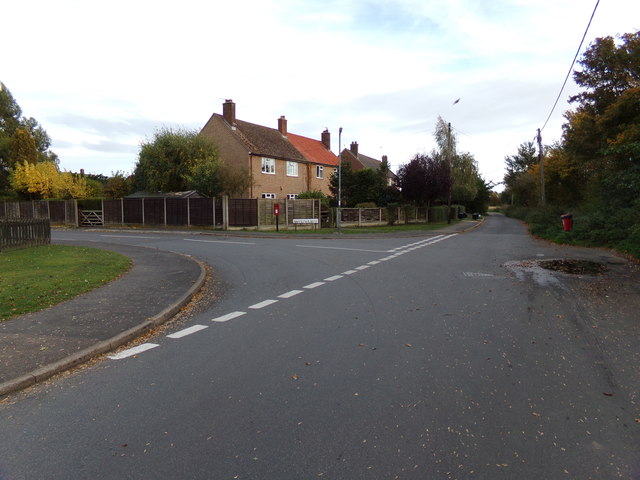
Image: © Geographer Taken: 12 Oct 2018
At the junction with Mandeville Road Postbox No.CO6 416D Road No.C90677
Images are licensed for reuse under creativecommons.org/licenses/by-sa/2.0
Image Location


Leaflet Map data © OpenStreetMap
Latitude
51.874773
Longitude
0.758682