Cromwell Road
Introduction
The photograph on this page of Cromwell Road by Ian Capper as part of the Geograph project.
The Geograph project started in 2005 with the aim of publishing, organising and preserving representative images for every square kilometre of Great Britain, Ireland and the Isle of Man.

There are currently over 7.5m images from over 14,400 individuals and you can help contribute to the project by visiting https://www.geograph.org.uk
Cromwell Road
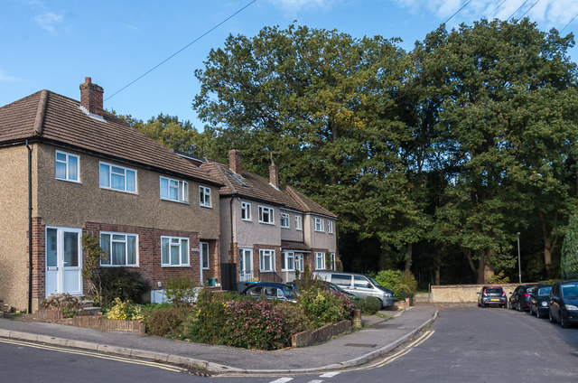
Image: © Ian Capper Taken: 27 Oct 2018
c1950s housing on a cul-de-sac ending at the border of Surrey and the London Borough of Croydon. The trees in the background are on Coulsdon Common. Cromwell Road started development around the end of the 19th Century, but this section is much later, being built on the site of the former Ninehams House.
Images are licensed for reuse under creativecommons.org/licenses/by-sa/2.0
Image Location
Latitude
51.296063
Longitude
-0.102139