The northern end of the Upper Road at its junction with Church Road
Introduction
The photograph on this page of The northern end of the Upper Road at its junction with Church Road by Eric Jones as part of the Geograph project.
The Geograph project started in 2005 with the aim of publishing, organising and preserving representative images for every square kilometre of Great Britain, Ireland and the Isle of Man.

There are currently over 7.5m images from over 14,400 individuals and you can help contribute to the project by visiting https://www.geograph.org.uk
The northern end of the Upper Road at its junction with Church Road
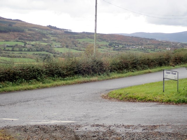
Image: © Eric Jones Taken: 29 Oct 2018
In the middle ground, across the Forkhill River valley, are the south-western slopes of Slieve Gullion. The mountains in the background on the right are the Cooley Mountains of Co. Louth.
Images are licensed for reuse under creativecommons.org/licenses/by-sa/2.0
Image Location
Latitude
54.103073
Longitude
-6.473385