Lake Farm
Introduction
The photograph on this page of Lake Farm by Derek Harper as part of the Geograph project.
The Geograph project started in 2005 with the aim of publishing, organising and preserving representative images for every square kilometre of Great Britain, Ireland and the Isle of Man.

There are currently over 7.5m images from over 14,400 individuals and you can help contribute to the project by visiting https://www.geograph.org.uk
Lake Farm
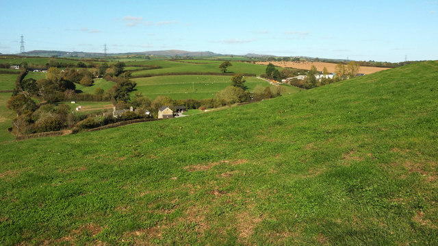
Image: © Derek Harper Taken: 22 Oct 2018
Looking right from where Image] was taken. The farm at Lake is left of centre; at upper left is Pip (Pitt on some maps) Farm, in Image, with Purcombe Farm on the right in Image The listed farmhouse at Lake is described at https://historicengland.org.uk/listing/the-list/list-entry/1097327 . Both the farmhouse and a barn at Pitt are listed.
Images are licensed for reuse under creativecommons.org/licenses/by-sa/2.0
Image Location
Latitude
50.498387
Longitude
-3.706009