Public bridleway in the valley of Holme Brook
Introduction
The photograph on this page of Public bridleway in the valley of Holme Brook by Christine Johnstone as part of the Geograph project.
The Geograph project started in 2005 with the aim of publishing, organising and preserving representative images for every square kilometre of Great Britain, Ireland and the Isle of Man.

There are currently over 7.5m images from over 14,400 individuals and you can help contribute to the project by visiting https://www.geograph.org.uk
Public bridleway in the valley of Holme Brook
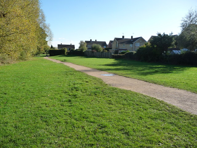
Image: © Christine Johnstone Taken: 18 Oct 2018
A green finger heading towards the centre of Chesterfield. The houses are in Berwyn Close and Hambledon Close.
Images are licensed for reuse under creativecommons.org/licenses/by-sa/2.0
Image Location
Latitude
53.246753
Longitude
-1.457166