Old Allhallows churchyard
Introduction
The photograph on this page of Old Allhallows churchyard by Ed Messenger as part of the Geograph project.
The Geograph project started in 2005 with the aim of publishing, organising and preserving representative images for every square kilometre of Great Britain, Ireland and the Isle of Man.

There are currently over 7.5m images from over 14,400 individuals and you can help contribute to the project by visiting https://www.geograph.org.uk
Old Allhallows churchyard
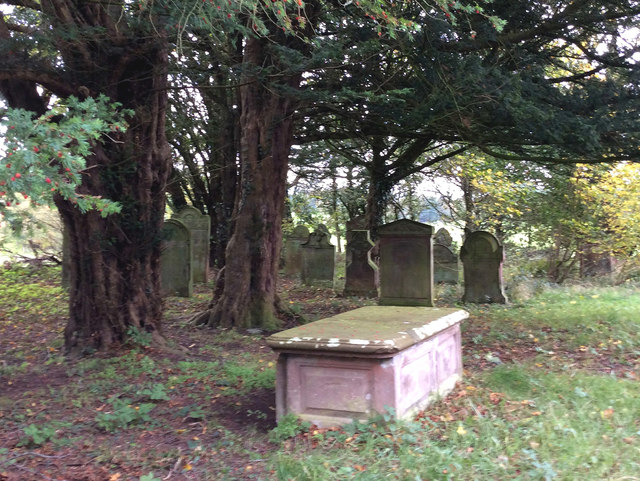
Image: © Ed Messenger Taken: 16 Oct 2018
Abandoned Allhallows churchyard, 1/3 miles southwest of Mealsgate
Images are licensed for reuse under creativecommons.org/licenses/by-sa/2.0
Image Location


Leaflet Map data © OpenStreetMap
Latitude
54.765329
Longitude
-3.239291