Tottenham and Hampstead line east of Junction Road
Introduction
The photograph on this page of Tottenham and Hampstead line east of Junction Road by Robin Webster as part of the Geograph project.
The Geograph project started in 2005 with the aim of publishing, organising and preserving representative images for every square kilometre of Great Britain, Ireland and the Isle of Man.

There are currently over 7.5m images from over 14,400 individuals and you can help contribute to the project by visiting https://www.geograph.org.uk
Tottenham and Hampstead line east of Junction Road
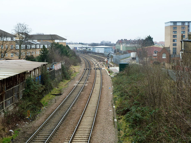
Image: © Robin Webster Taken: 29 Jan 2011
In the foreground was the site of Junction Road station, with no obvious traces left. It closed in 1943. The road to the right is called Station Road.
Images are licensed for reuse under creativecommons.org/licenses/by-sa/2.0
Image Location
Latitude
51.559157
Longitude
-0.136621