Dunsmore Ride, Monks Risborough
Introduction
The photograph on this page of Dunsmore Ride, Monks Risborough by Stephen McKay as part of the Geograph project.
The Geograph project started in 2005 with the aim of publishing, organising and preserving representative images for every square kilometre of Great Britain, Ireland and the Isle of Man.

There are currently over 7.5m images from over 14,400 individuals and you can help contribute to the project by visiting https://www.geograph.org.uk
Dunsmore Ride, Monks Risborough
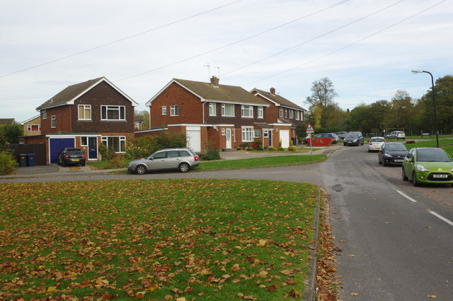
Image: © Stephen McKay Taken: 24 Oct 2018
Princes Risborough expanded significantly between about 1950 and 1980 including these houses here, which probably date from the late 1960s/early 1970s - part of an estate effectively joining Princes Risborough to Monks Risborough.
Images are licensed for reuse under creativecommons.org/licenses/by-sa/2.0
Image Location
Latitude
51.731743
Longitude
-0.827656