Lynton and Barnstaple Railway ? Site of Bridge 79
Introduction
The photograph on this page of Lynton and Barnstaple Railway ? Site of Bridge 79 by Barrie Cann as part of the Geograph project.
The Geograph project started in 2005 with the aim of publishing, organising and preserving representative images for every square kilometre of Great Britain, Ireland and the Isle of Man.

There are currently over 7.5m images from over 14,400 individuals and you can help contribute to the project by visiting https://www.geograph.org.uk
Lynton and Barnstaple Railway ? Site of Bridge 79
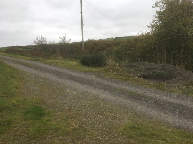
Image: © Barrie Cann Taken: 25 Oct 2018
The site of Bridge 79, which has long been demolished. The trackbed of the railway ran from directly under the photographer’s feet, and on to the right of the telegraph pole as it descended towards Lynton Station. Study of the 1904 map of the route shows the bridge at roughly this level, going over the path which would then have been several feet lower. The Lynton & Barnstaple Railway was a 19 mile long narrow gauge railway, which ran across the stunning Exmoor landscape, from 1898, until its closure in 1935. In 2004, after many years of hard work and negotiation, a small section was re-opened. It is hoped that this section will soon be a working part of the railway once more. One of the world’s most famous little railways, you can read more of the exciting plans for the coming years at www.lynton-rail.co.uk
Images are licensed for reuse under creativecommons.org/licenses/by-sa/2.0
Image Location
Latitude
51.214603
Longitude
-3.842891