Moorland with circular sheepfold
Introduction
The photograph on this page of Moorland with circular sheepfold by Trevor Littlewood as part of the Geograph project.
The Geograph project started in 2005 with the aim of publishing, organising and preserving representative images for every square kilometre of Great Britain, Ireland and the Isle of Man.

There are currently over 7.5m images from over 14,400 individuals and you can help contribute to the project by visiting https://www.geograph.org.uk
Moorland with circular sheepfold
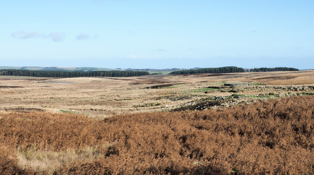
Image: © Trevor Littlewood Taken: 27 Oct 2018
Flat moorland to the east of the A696 with the sheepfold a little hard to detect... it's seen below the highest trees on the skyline but of course, much nearer to the camera position.
Images are licensed for reuse under creativecommons.org/licenses/by-sa/2.0
Image Location
Latitude
55.183582
Longitude
-2.037189