Coniferous plantation at Tod Law
Introduction
The photograph on this page of Coniferous plantation at Tod Law by Trevor Littlewood as part of the Geograph project.
The Geograph project started in 2005 with the aim of publishing, organising and preserving representative images for every square kilometre of Great Britain, Ireland and the Isle of Man.

There are currently over 7.5m images from over 14,400 individuals and you can help contribute to the project by visiting https://www.geograph.org.uk
Coniferous plantation at Tod Law
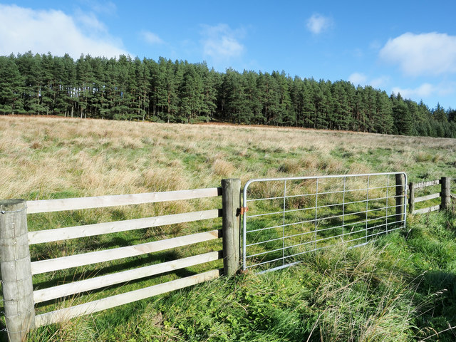
Image: © Trevor Littlewood Taken: 27 Oct 2018
Tod Law is a location, named as such on OS maps, north of the village of Byrness, also north of the A68.
Images are licensed for reuse under creativecommons.org/licenses/by-sa/2.0
Image Location


Leaflet Map data © OpenStreetMap
Latitude
55.321833
Longitude
-2.377864