Towards a bend in the M49 motorway, South Gloucestershire
Introduction
The photograph on this page of Towards a bend in the M49 motorway, South Gloucestershire by Jaggery as part of the Geograph project.
The Geograph project started in 2005 with the aim of publishing, organising and preserving representative images for every square kilometre of Great Britain, Ireland and the Isle of Man.

There are currently over 7.5m images from over 14,400 individuals and you can help contribute to the project by visiting https://www.geograph.org.uk
Towards a bend in the M49 motorway, South Gloucestershire
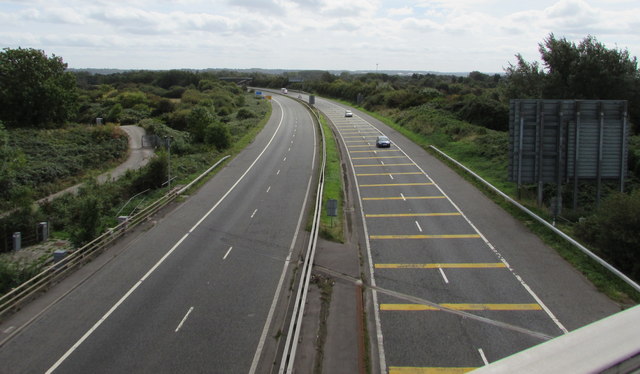
Image: © Jaggery Taken: 10 Sep 2018
Looking south from the bridge carrying the B4064 over the motorway. The northern end of the M49, https://www.geograph.org.uk/photo/5954728 at M4 motorway junction 22, is behind the camera.
Images are licensed for reuse under creativecommons.org/licenses/by-sa/2.0
Image Location
Latitude
51.5641
Longitude
-2.657799