Romans? Road
Introduction
The photograph on this page of Romans? Road by HelenK as part of the Geograph project.
The Geograph project started in 2005 with the aim of publishing, organising and preserving representative images for every square kilometre of Great Britain, Ireland and the Isle of Man.

There are currently over 7.5m images from over 14,400 individuals and you can help contribute to the project by visiting https://www.geograph.org.uk
Romans? Road
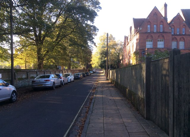
Image: © HelenK Taken: 20 Oct 2018
On the left of Romans’ Road are some of Winchester College’s playing fields. Most of the land and buildings around here belong to the College, ensuring that the area has a well-kept appearance. Wykehamists will tell you that there are three great English public schools: Eton, Harrow and their own.
Images are licensed for reuse under creativecommons.org/licenses/by-sa/2.0
Image Location
Latitude
51.057095
Longitude
-1.318635