The River Greta at Greta Bridge
Introduction
The photograph on this page of The River Greta at Greta Bridge by Jonathan Thacker as part of the Geograph project.
The Geograph project started in 2005 with the aim of publishing, organising and preserving representative images for every square kilometre of Great Britain, Ireland and the Isle of Man.

There are currently over 7.5m images from over 14,400 individuals and you can help contribute to the project by visiting https://www.geograph.org.uk
The River Greta at Greta Bridge
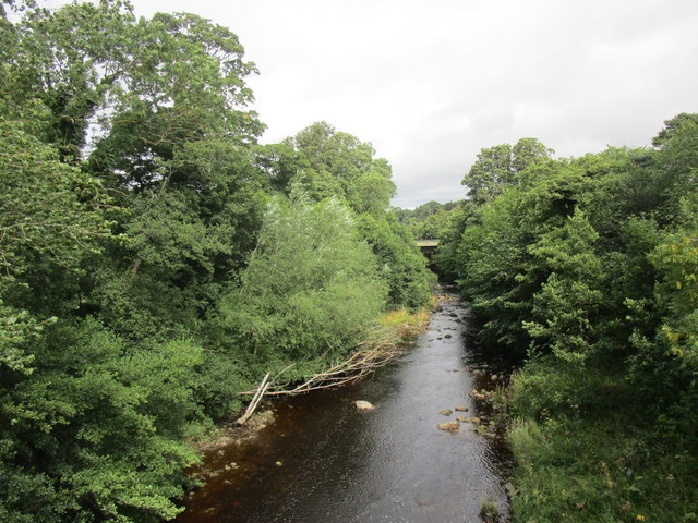
Image: © Jonathan Thacker Taken: 15 Aug 2018
The modern Greta Bridge on the A66 just visible between the trees.
Images are licensed for reuse under creativecommons.org/licenses/by-sa/2.0
Image Location
Latitude
54.515019
Longitude
-1.867591