Railway Bridge
Introduction
The photograph on this page of Railway Bridge by Anne Burgess as part of the Geograph project.
The Geograph project started in 2005 with the aim of publishing, organising and preserving representative images for every square kilometre of Great Britain, Ireland and the Isle of Man.

There are currently over 7.5m images from over 14,400 individuals and you can help contribute to the project by visiting https://www.geograph.org.uk
Railway Bridge
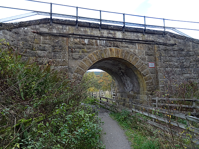
Image: © Anne Burgess Taken: 24 Oct 2018
This bridge carries the main line to Inverness over a path and a burn just outside Aviemore. It is also part of the Speyside Way http://speysideway.co.uk/.
Images are licensed for reuse under creativecommons.org/licenses/by-sa/2.0
Image Location
Latitude
57.205558
Longitude
-3.818717