End of cycle route, Gresty Road, Crewe
Introduction
The photograph on this page of End of cycle route, Gresty Road, Crewe by Jaggery as part of the Geograph project.
The Geograph project started in 2005 with the aim of publishing, organising and preserving representative images for every square kilometre of Great Britain, Ireland and the Isle of Man.

There are currently over 7.5m images from over 14,400 individuals and you can help contribute to the project by visiting https://www.geograph.org.uk
End of cycle route, Gresty Road, Crewe
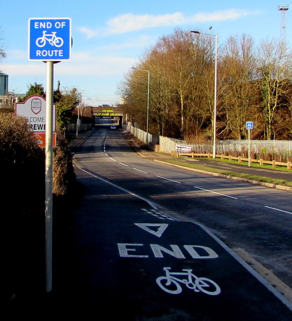
Image: © Jaggery Taken: 4 Feb 2017
Alongside the B5071 Gresty Road a few metres from the Welcome to Crewe sign https://www.geograph.org.uk/photo/5954172 at the southern edge of the town.
Images are licensed for reuse under creativecommons.org/licenses/by-sa/2.0
Image Location
Latitude
53.078741
Longitude
-2.434502