Blue direction and distances sign, Weston Close, Crewe
Introduction
The photograph on this page of Blue direction and distances sign, Weston Close, Crewe by Jaggery as part of the Geograph project.
The Geograph project started in 2005 with the aim of publishing, organising and preserving representative images for every square kilometre of Great Britain, Ireland and the Isle of Man.

There are currently over 7.5m images from over 14,400 individuals and you can help contribute to the project by visiting https://www.geograph.org.uk
Blue direction and distances sign, Weston Close, Crewe
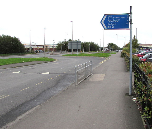
Image: © Jaggery Taken: 23 Sep 2017
The sign at the edge of Crewe Station Car Park points the way for walkers and cyclists to MMU (Manchester Metropolitan University Cheshire Campus) and Crewe Business Park (both half a mile), Grand Junction Retail Park (three quarters of a mile) and Haslington (two and a quarter miles).
Images are licensed for reuse under creativecommons.org/licenses/by-sa/2.0
Image Location
Latitude
53.089448
Longitude
-2.431773