Doric Way, Somers Town
Introduction
The photograph on this page of Doric Way, Somers Town by Stephen Craven as part of the Geograph project.
The Geograph project started in 2005 with the aim of publishing, organising and preserving representative images for every square kilometre of Great Britain, Ireland and the Isle of Man.

There are currently over 7.5m images from over 14,400 individuals and you can help contribute to the project by visiting https://www.geograph.org.uk
Doric Way, Somers Town
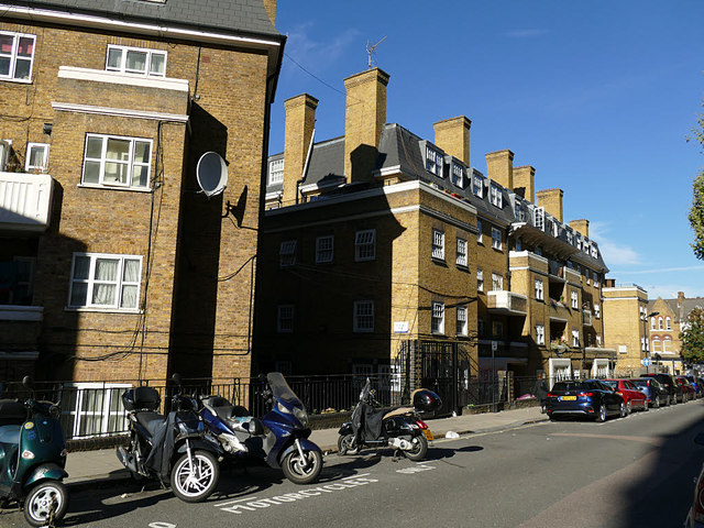
Image: © Stephen Craven Taken: 27 Sep 2018
Typical London County Council housing of the 1930s or thereabouts. The street presumably takes its name from the (now long vanished) Doric Arch at Euston Image It was formerly Drummond Street Image
Images are licensed for reuse under creativecommons.org/licenses/by-sa/2.0
Image Location
Latitude
51.529222
Longitude
-0.131645