Fitzrovia: Newman Passage (4) & The Newman Arms
Introduction
The photograph on this page of Fitzrovia: Newman Passage (4) & The Newman Arms by Nigel Cox as part of the Geograph project.
The Geograph project started in 2005 with the aim of publishing, organising and preserving representative images for every square kilometre of Great Britain, Ireland and the Isle of Man.

There are currently over 7.5m images from over 14,400 individuals and you can help contribute to the project by visiting https://www.geograph.org.uk
Fitzrovia: Newman Passage (4) & The Newman Arms
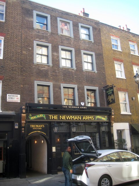
Image: © Nigel Cox Taken: 22 Oct 2018
Newman Passage which runs through to Newman Street goes through the arch of The Newman Arms public house. As can be seen the pub is on Rathbone Street, not Newman Street. Old large scale Ordnance Survey maps show that Rathbone Street was once named Upper Rathbone Place.
Images are licensed for reuse under creativecommons.org/licenses/by-sa/2.0
Image Location
Latitude
51.518129
Longitude
-0.135269