Highley
Introduction
The photograph on this page of Highley by Richard Webb as part of the Geograph project.
The Geograph project started in 2005 with the aim of publishing, organising and preserving representative images for every square kilometre of Great Britain, Ireland and the Isle of Man.

There are currently over 7.5m images from over 14,400 individuals and you can help contribute to the project by visiting https://www.geograph.org.uk
Highley
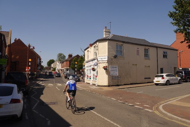
Image: © Richard Webb Taken: 3 Jul 2018
The meeting of the High Street, Bridgnorth Road and Barke Street. Highley gives a good workout if you are on a bike (I was not on this occasion), as it is situated on a spur high above the River Severn.
Images are licensed for reuse under creativecommons.org/licenses/by-sa/2.0
Image Location
Latitude
52.448751
Longitude
-2.382218