B4555
Introduction
The photograph on this page of B4555 by Richard Webb as part of the Geograph project.
The Geograph project started in 2005 with the aim of publishing, organising and preserving representative images for every square kilometre of Great Britain, Ireland and the Isle of Man.

There are currently over 7.5m images from over 14,400 individuals and you can help contribute to the project by visiting https://www.geograph.org.uk
B4555
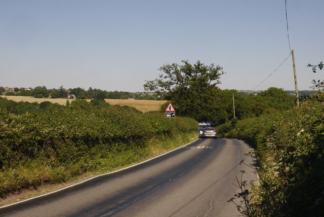
Image: © Richard Webb Taken: 3 Jul 2018
The nearby River Severn which runs well below the surrounding country means there are some mean hills in the Bridgnorth and Wyre Forest area. The road here descends to the Borle Brook on the way to Highley.
Images are licensed for reuse under creativecommons.org/licenses/by-sa/2.0
Image Location
Latitude
52.439255
Longitude
-2.3992