Fields, Kinlet
Introduction
The photograph on this page of Fields, Kinlet by Richard Webb as part of the Geograph project.
The Geograph project started in 2005 with the aim of publishing, organising and preserving representative images for every square kilometre of Great Britain, Ireland and the Isle of Man.

There are currently over 7.5m images from over 14,400 individuals and you can help contribute to the project by visiting https://www.geograph.org.uk
Fields, Kinlet
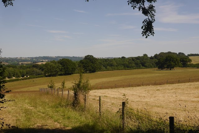
Image: © Richard Webb Taken: 3 Jul 2018
The ground slopes away to the River Severn, as a result tributary streams have cut deep valleys which are often wooded. One such woodland is visible in the background.
Images are licensed for reuse under creativecommons.org/licenses/by-sa/2.0
Image Location
Latitude
52.43301
Longitude
-2.411352