Former village school - Bettws Cedewain
Introduction
The photograph on this page of Former village school - Bettws Cedewain by Penny Mayes as part of the Geograph project.
The Geograph project started in 2005 with the aim of publishing, organising and preserving representative images for every square kilometre of Great Britain, Ireland and the Isle of Man.

There are currently over 7.5m images from over 14,400 individuals and you can help contribute to the project by visiting https://www.geograph.org.uk
Former village school - Bettws Cedewain
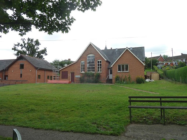
Image: © Penny Mayes Taken: 29 Jul 2017
As is usual hereabouts, the community hall (left) was built next to the school in 1985. However, the village school, built in 1896, closed in 1995 and the building now houses an independent special school, Bettws Lifehouse https://bettwslifehouse.org.uk/
Images are licensed for reuse under creativecommons.org/licenses/by-sa/2.0
Image Location
Latitude
52.561556
Longitude
-3.297223