Anne's Walk and Whyteleafe Road
Introduction
The photograph on this page of Anne's Walk and Whyteleafe Road by Ian Capper as part of the Geograph project.
The Geograph project started in 2005 with the aim of publishing, organising and preserving representative images for every square kilometre of Great Britain, Ireland and the Isle of Man.

There are currently over 7.5m images from over 14,400 individuals and you can help contribute to the project by visiting https://www.geograph.org.uk
Anne's Walk and Whyteleafe Road
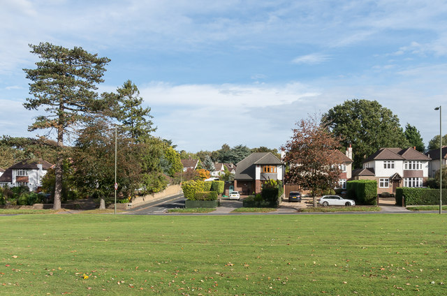
Image: © Ian Capper Taken: 12 Oct 2018
c1930s housing in Anne's Walk and Whyteleafe Road, seen across the open space on Salmons Lane near its junction with the latter.
Images are licensed for reuse under creativecommons.org/licenses/by-sa/2.0
Image Location
Latitude
51.298314
Longitude
-0.088505