Caynam Road
Introduction
The photograph on this page of Caynam Road by Richard Webb as part of the Geograph project.
The Geograph project started in 2005 with the aim of publishing, organising and preserving representative images for every square kilometre of Great Britain, Ireland and the Isle of Man.

There are currently over 7.5m images from over 14,400 individuals and you can help contribute to the project by visiting https://www.geograph.org.uk
Caynam Road
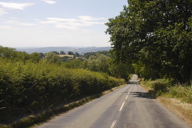
Image: © Richard Webb Taken: 3 Jul 2018
A steep hill which gives a fast descent (not so much fun the other way!) The road links Clee Hill with the Ashfords via Knowbury and Caynham.
Images are licensed for reuse under creativecommons.org/licenses/by-sa/2.0
Image Location
Latitude
52.375608
Longitude
-2.609126